King County lies. For months they’ve been sending me emails promising that the southern section of the ERC would be open by the end of 2017. I gave them the benefit of the doubt in figuring that it was my mistake that the Bellevue – Cross Kirkland section wasn’t going to be accessible until February, but there was no mistake about the promise on the southern segment.
Well, in late January you can ride it. There are short patches where they’ve laid down fine gravel and rolled it well so the ride is pretty good. Most of it is coarse gravel and mud, though, and there are construction vehicles parked in the middle of it which makes it feel less than open.
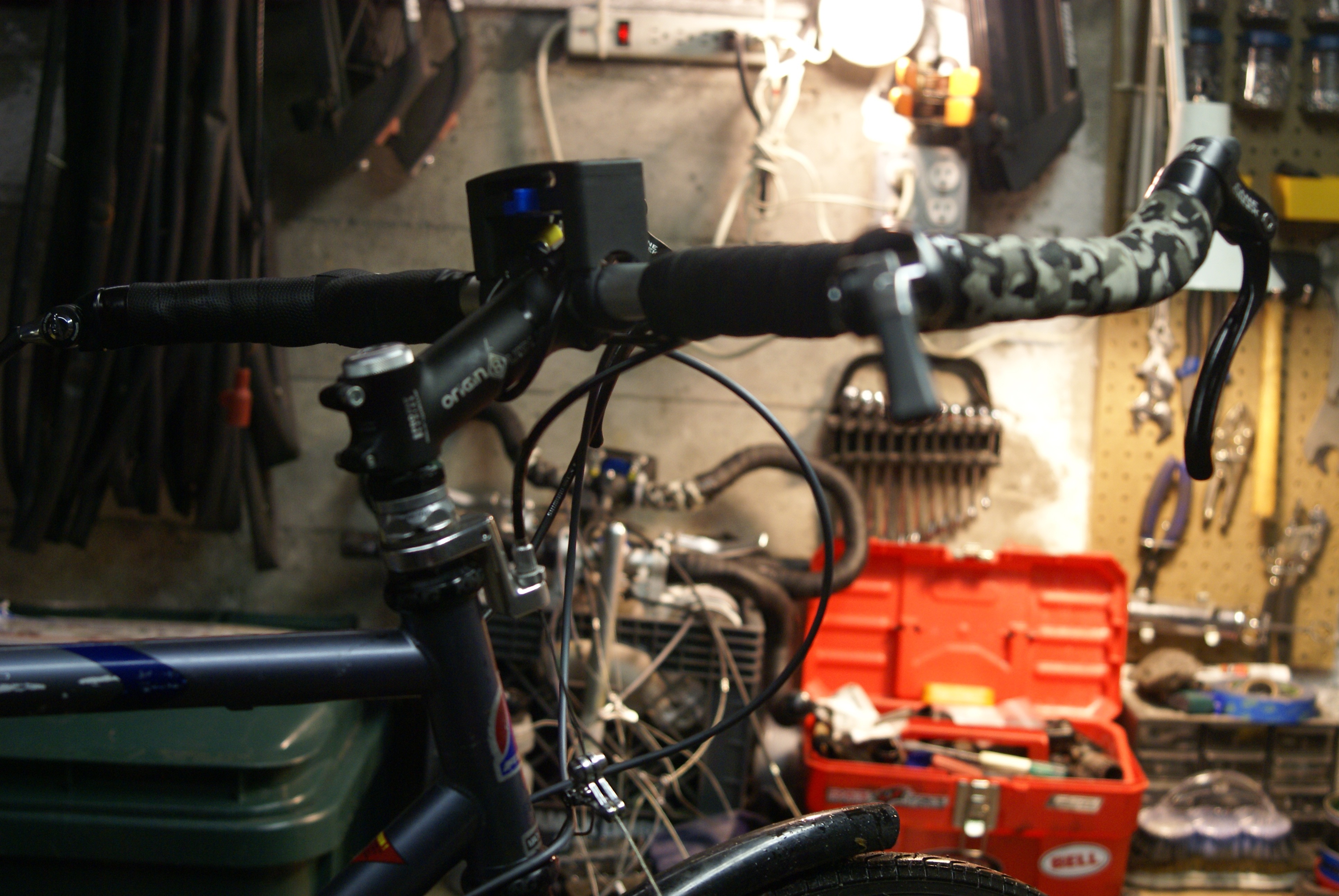
The crowning stupidity is that there are two bridges – one short, one a longer curving trestle – and instead of installing solid decks they’ve left the rails in place and fenced them off! “Open” means a two-foot wide wooden walkway with high chainlink fencing on either side. I was worried that my trekking bars would be too wide to fit. I don’t think that two pedestrians will be able to get past each other, let alone anybody getting past a cyclist.
You can’t get to the ERC from Gene Coulon Park – the trails in the park still have “no bike” signs and it isn’t clear that they connect to the ERC even for pedestrians. The first street access is from 33rd, meaning that the trail doesn’t eliminate the last two climbs north of the park. I know that BNSF held onto the track next to the park to use as a siding when they wanted to turn around trains at the Boeing plant but the County said they were talking to them about transferring that section. At the other end of the segment the ERC ends at the road crossing, not at the Newcastle Beach Park. I imagine that eventually this will get worked out, but I’m disappointed that they are acting like it isn’t even an issue.
The weather is going to get better in a couple months and there will be a million cyclists investigating King counties promises. Won’t they be surprised!