We planned to take a tandem trip to Italy this spring but a couple of months before our flights Odette wasn’t feeling it and after a bunch of back-and-forth we visited Rome without bikes. As part of the trade-offs we agreed to a bike trip in 2026 that we didn’t have to fly to get to. As we got further into the summer we debated a trip to the Selkirks or the Okanagan or even just Bellingham without finding something that worked for both of us. Finally we agreed on a trip to Eugene.
We planned to drive down on September 20th without time for a ride that day. We would have five days of riding and a drive back to Seattle on the 26th, another day with no riding. The first week in September I booked us a hotel (the McKenzie Orchards B&B at 34694 McKenzie View Dr in Springfield.) and got to work on routes.
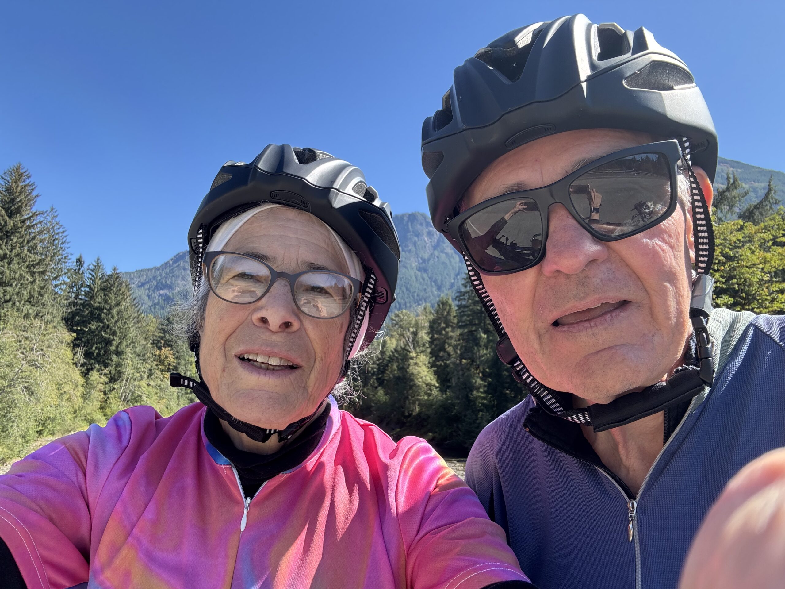
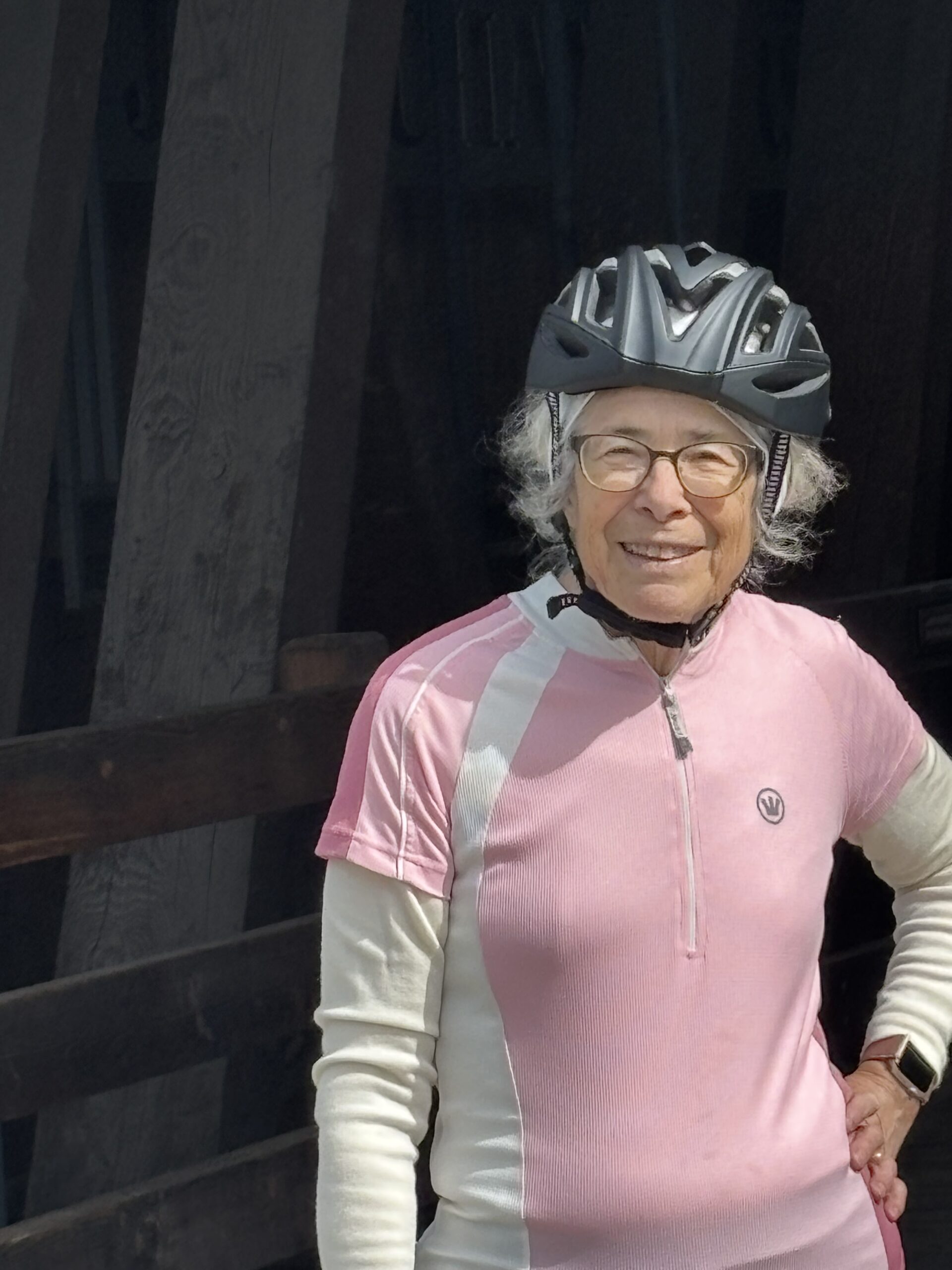
We’d been having trouble with our helmets not charging properly and not lasting all the way through a 4- or 5-hour ride. I kind of thought that it was a faulty port on the charger, but as it got worse I had to admit that we needed new helmets. Sena doesn’t make strictly bluetooth intercom helmets any more so we got the simplest ones they offered where both our sizes were available. When they arrived Odette couldn’t wait to adjust the straps so that they met her standards of tightness – and promptly broke the sliders on both sides or her new helmet and on one side of mine. We had a good time dealing with customer service, sorting out terminology and forwarding photos etc. Finally, just in time for Eugene and as shown in the photo above, we got a replacement for her helmet and I applied duct tape to mine. They worked fine and if we ever have a need for mesh networking on the tandem we’re now fully capable.
Here is the Travel Oregon website that we used when we visited Bend in 2024. They have four scenic bikeways out of Eugene which is comparable to the set up in Bend. I noticed that where the Bend rides were all loops, most of the Eugene rides were longer one-way routes. Simplistically, we can just ride the first 25 or 30 miles and turn around for an OAB route, but it would be better to find alternatives to get back from the midpoint to avoid seeing the same scenery in reverse.
Unfortunately there doesn’t seem to be a scenic bikeway between Eugene and Florence and it’s a 70 mile drive over to the coast. (Florence, and specifically the Rogue Brewery in Florence, was a big part of the motivation behind a trip to Eugene since we couldn’t get their beer any more after they closed their pub in Issaquah during the pandemic, Unfortunately while planning this trip I learned that they were now out of business altogether, and that this spring they had a big sale disposing of their property in Florence.)
I did pretty much all of the planning for this trip on line – mainly leaving myself notes on an earlier version of this page. I figured that as long as I had internet access I could get to my page and as long all of the various maps and links were saved there I would be all set. The week before our trip started my site stopped loading and the error message basically blamed the host:
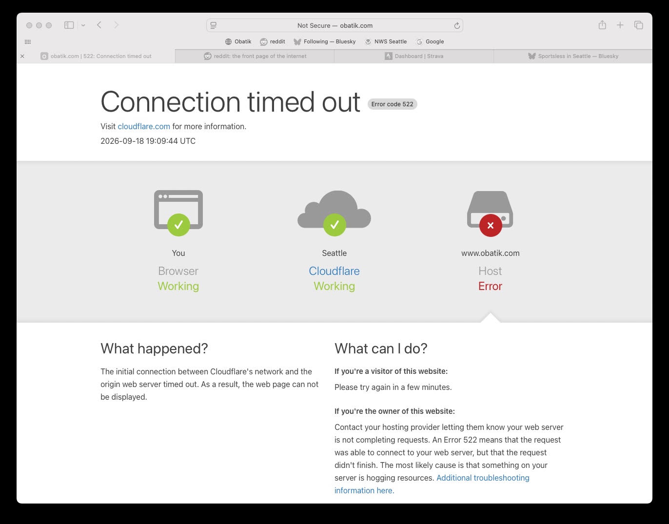
I emailed Will who said his upstream ISP had gone bankrupt but that he had thought he had a workaround. I figured we’d manage whatever happened and the site started loading again a couple of days before we left.
We (or rather Odette) drove about five hours from Seattle to Eugene. Now that we’ve got a new bike we need a new car to carry it around:
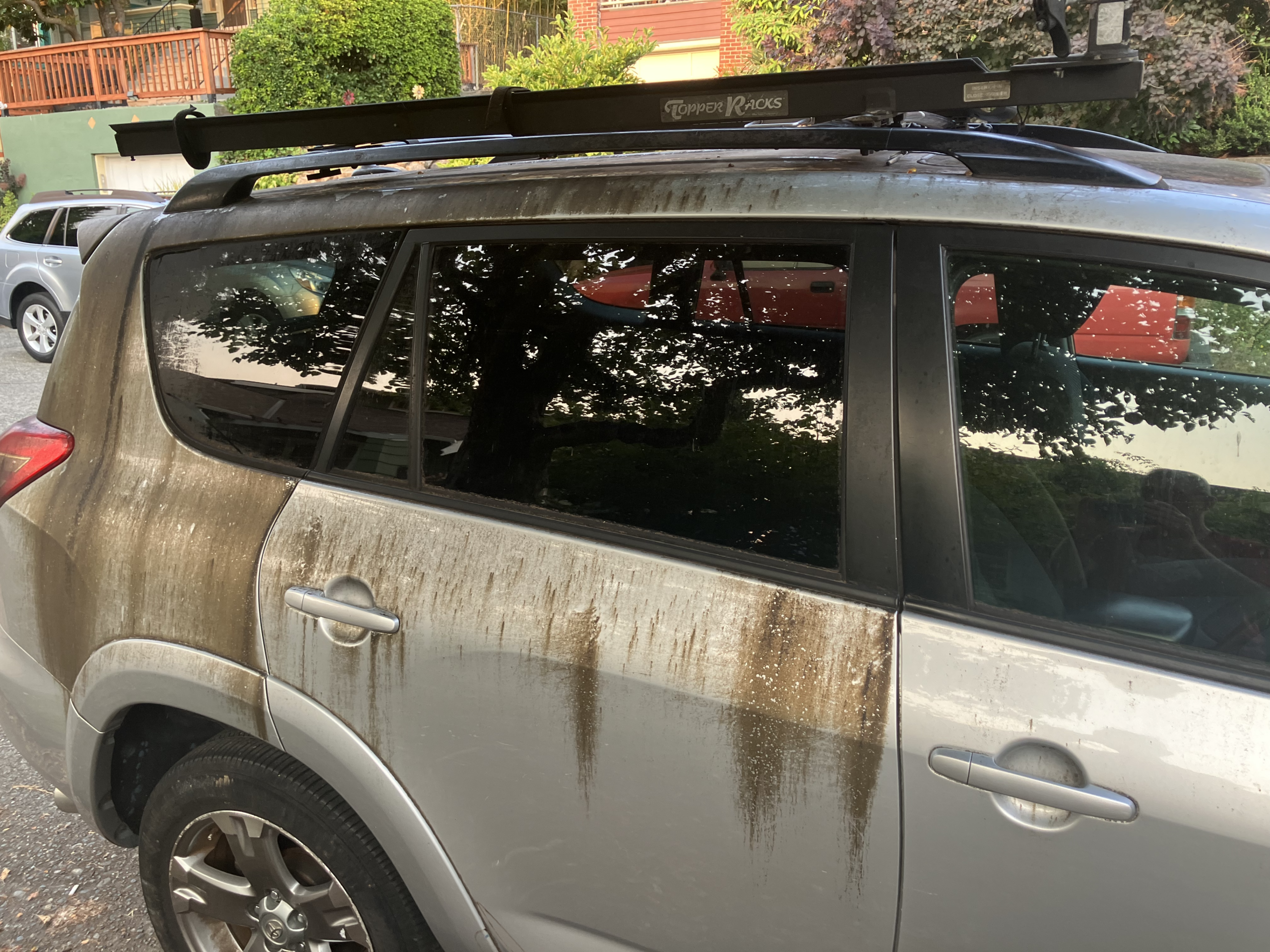
That’s crab apple juice baked onto a 2009 RAV4. I tried the pressure washer and we ran it through the car wash several times, to no avail. I tried a detail guy who looked at the photos and then ghosted me. After we got back I tried simple green and I’m optimistic that it may be the answer. The real answer is probably to get a new car.
We didn’t debate much about which bike to take for this ride. The Litespeed climbs better but the fit still isn’t totally comfortable. Additionally, I was worried about the Di2 battery dying after three or four days of riding. Odette prefers the Rodriguez and only gets on the Ibis if it’s wet or unpaved out. We wanted to have the Rodriguez serviced before Dubrovnik so I took it into R+E on the 15th and their schedule pretty much committed us to the Litespeed for Eugene. (A couple of days later I got a call from R+E saying that there was a crack in the rim of the rear wheel so the focus shifted to getting the bike a new wheel set in time for the Dubrovnik trip in late October. ) I had been locking out the pivot on our tandem carrier using two bolts with wing-nuts because the pivot bolt was so loose that we had a disturbing amount of sway. For this long of a drive I didn’t trust the wing-nuts to stay tight and replaced them with regular M-6 bolts and nylock nuts. This meant that I had to lift the bike into the carrier instead of pivoting on the front fork – something that seemed feasible given how light the Litespeed is.
I remember loading the Burley that way before we got a purpose-built tandem carrier – and it weighed in at something like 50 lbs.
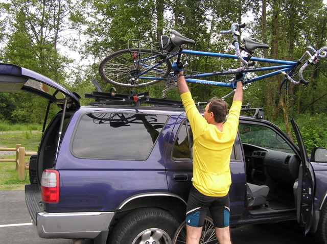
The carrier worked fine and stayed tight with no sway for the full trip. I loaded / unloaded it ten or twelve times and figured out that I kind of needed Odettes’ help to get it up and down gracefully. (Next time I’ll pack a step-stool in the car.) Eventuallywe’ll have to get a new carrier if we’re going to keep doing this.
When we got there we found that the B&B was amazing. We ate dinner at an Italian place in Springfield where they got very confused about our reservation.
Here are our rides:
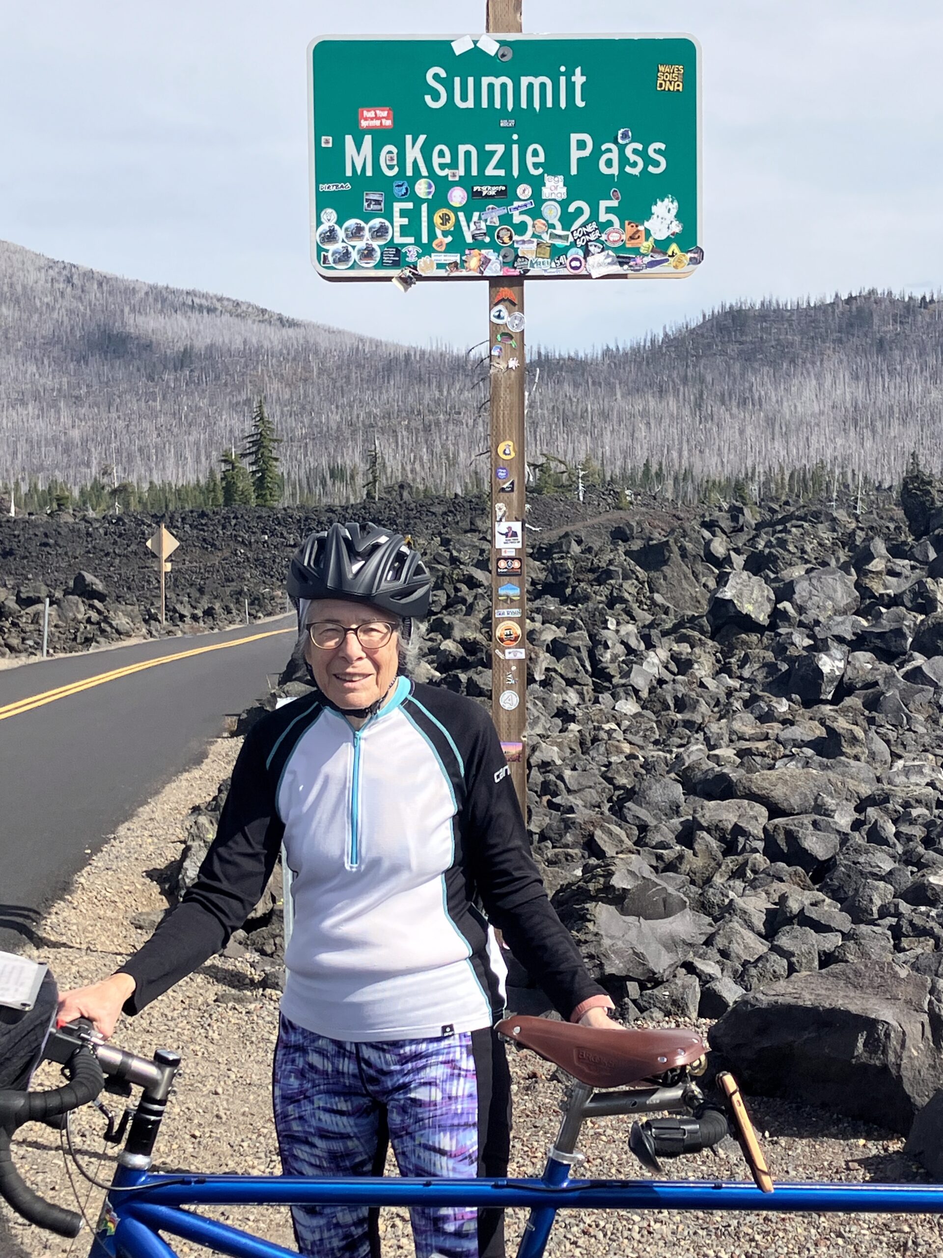
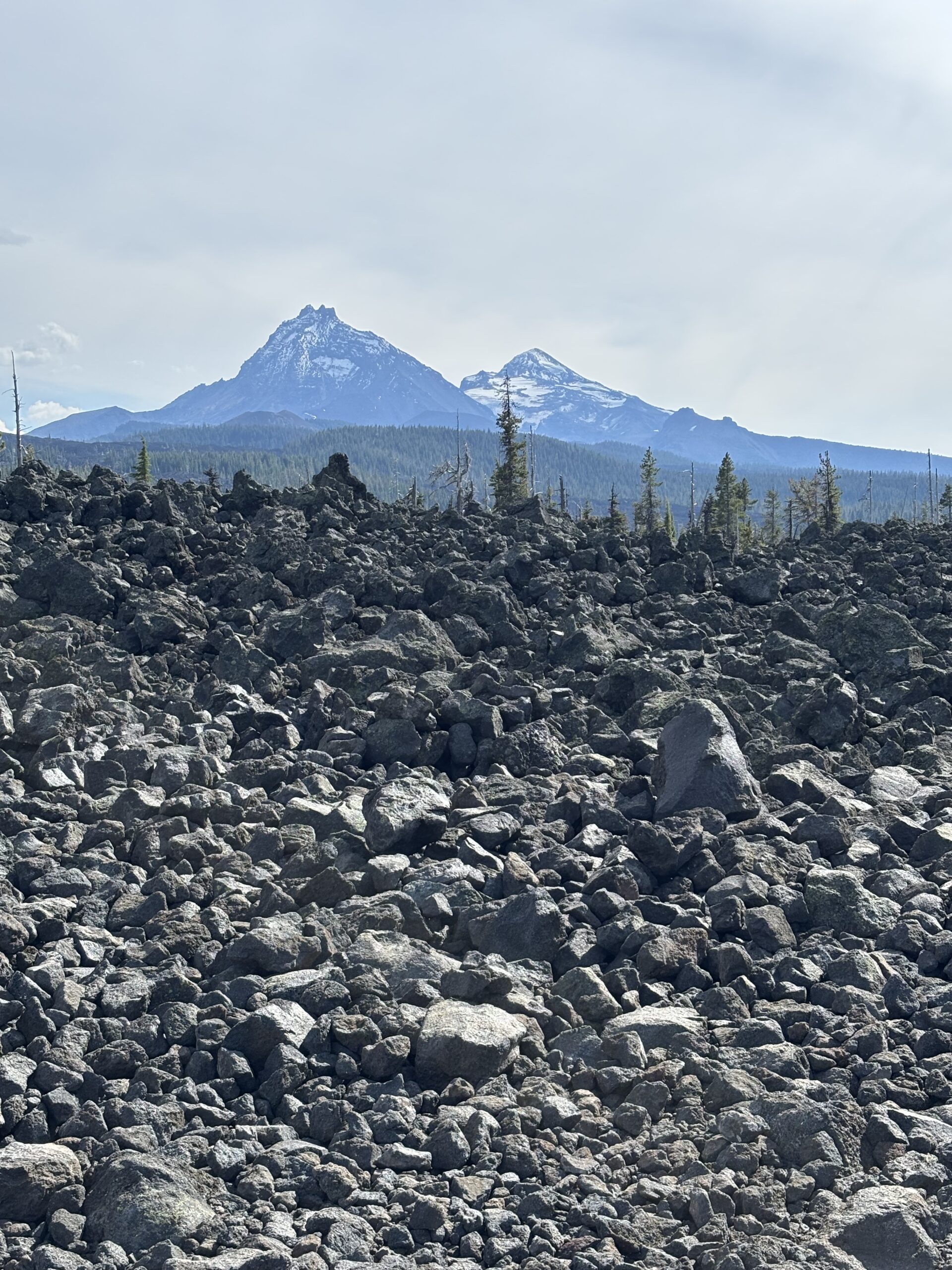
9/21 – McKenzie Pass – 38 miles. The map on the bikeways’ site starts east of the pass so I cut it in half and reversed the route in RWGPS and here is the route we planned to take. You start from the other end and turn around at the mid-point so the distance ought to be the same, right? Here’s the ride we actually did – 45 miles with 4,000 feet of climbing. The flaw was that we intended to turn around at the summit, not the mid-point – and that we didn’t focus on the fact that the western trailhead was about 1,000 feet lower than the eastern one. Here’s the car route from the B&B to the start of the ride at Belknap hot springs (55 miles – about an hour.) There was a sign at the Belknap road for a bike shuttle suggesting another approach to day tripping. The forest was gorgeous. The road had almost no traffic. There was one section where the grade was a lot steeper, but it only lasted for six or eight switchbacks. We weren’t very fast (split speed under 5 mph on the steepest part) but we completed the ride in good form and were in pretty good shape after a fast descent. We had dinner at a fast-food Mexican place which I wouldn’t return to.
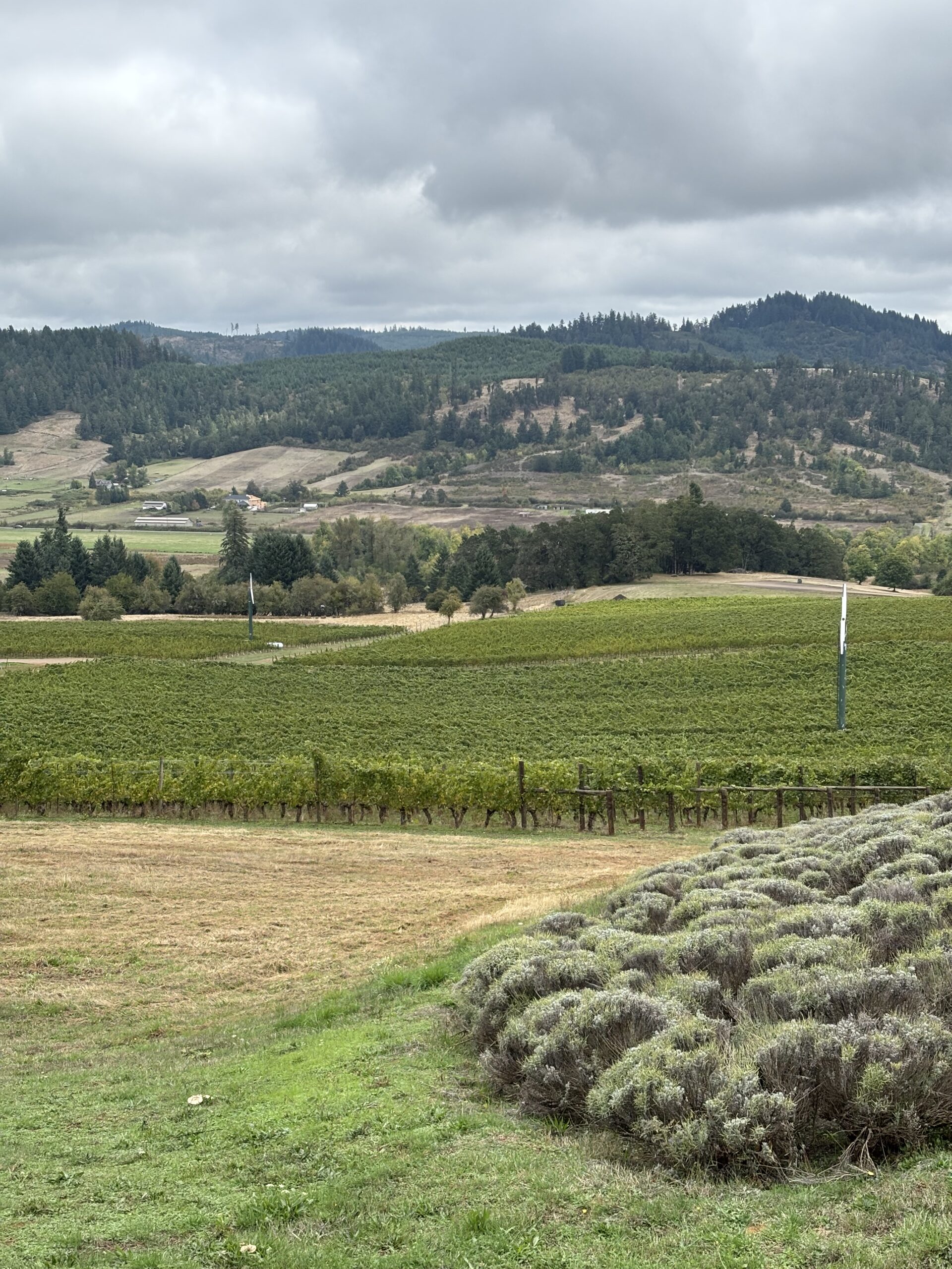
9/22 – Lorane Valley Wineries – This route was taken from RWGPS because it was under 50 miles and only 2,600 ft. of elevation. It’s 12 miles from the B&B to the start in Eugene. For whatever reason this ride felt harder than McKenzie Pass the day before. The route started and ended in downtown Eugene and the urban riding was kind of fun. The hills were both long and steep. Odette’s opinion was that the hardest climb was the driveway up to King Estates. The forest was different than McKenzie Pass but also very pretty. We ate at a burger place that shared a giant parking lot with an Appleby’s. I wouldn’t return there, either.
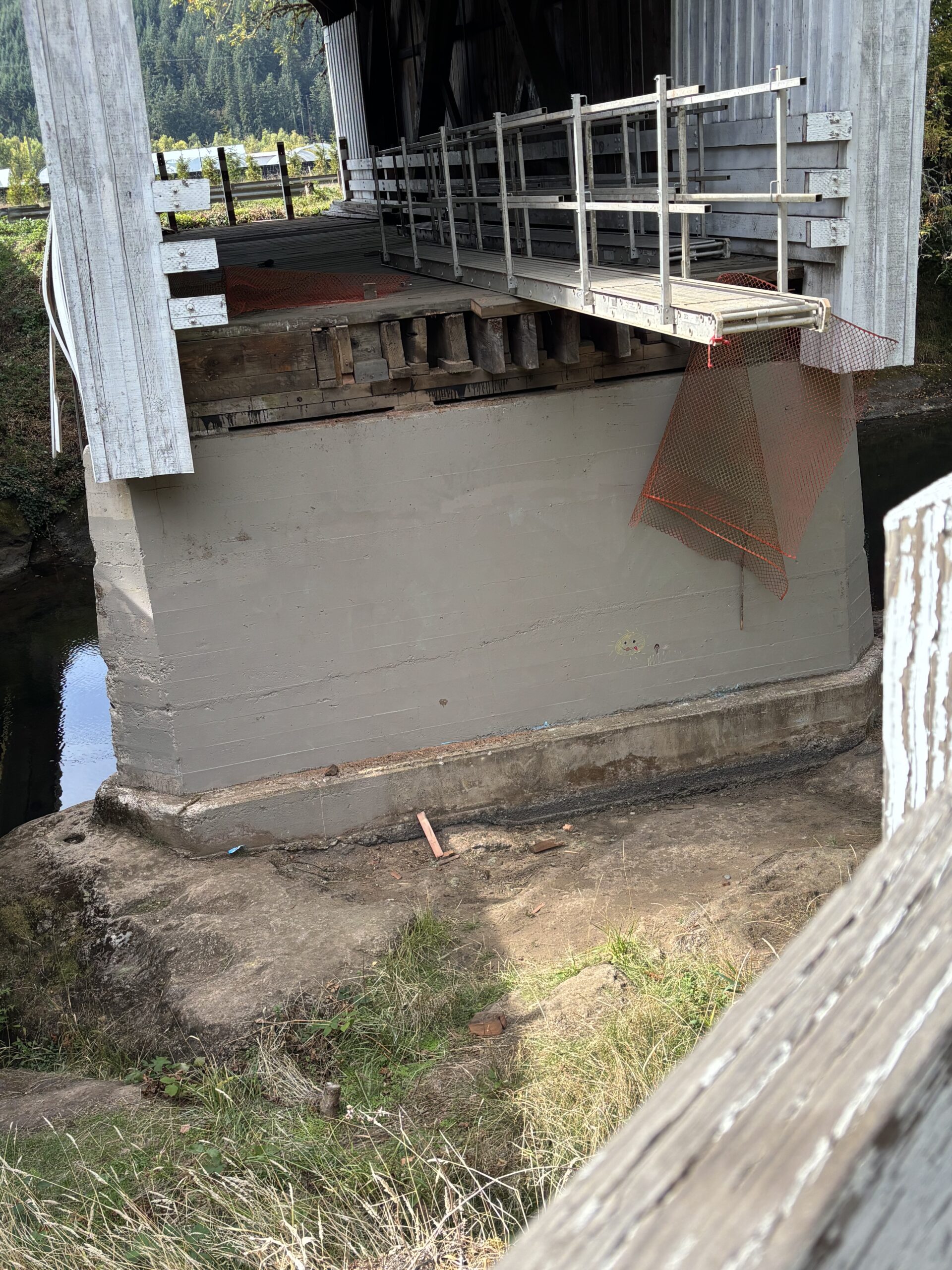
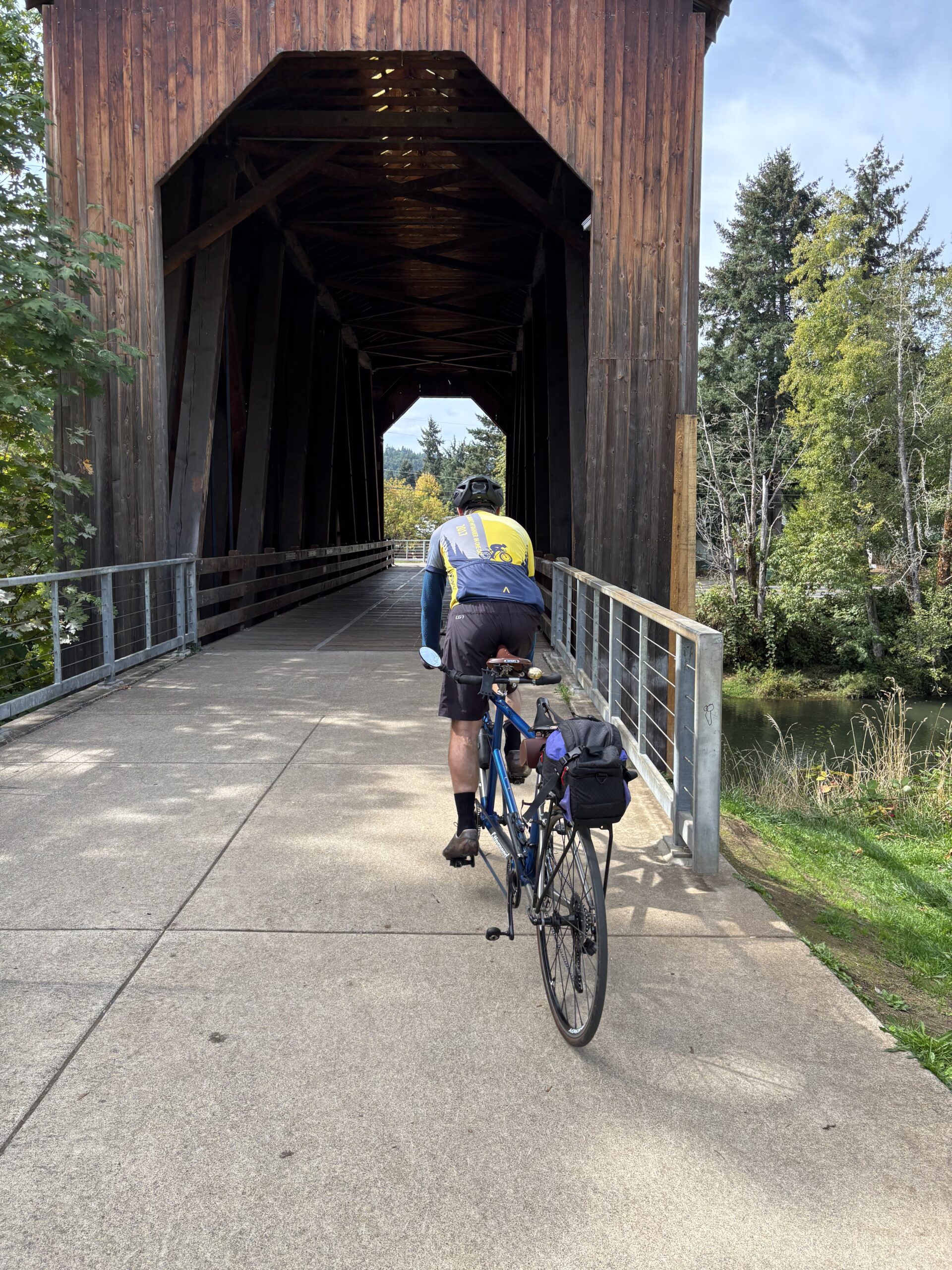
9/23 – Covered Bridges – starts in Cottage Grove and is a 36 mile loop. Here’s the car route from the B&B to the start of the ride – 30 miles. Here’s how we did the ride. Cottage Grove is a small town with lots of homeless people camping at trailhead park. (I don’t get the attraction compared to Eugene.) About 20 miles of the ride was on a rail-trail next to Dorena Lake and the Row river – we were riding upstream but it seemed to be totally flat. At the end of the pavement there was a sign commemorating Buster Keatons’ “The General” – the iconic train wreck in that film having been filmed here. In addition to one serious hill, the route back on the other side of the lake took us by a couple of covered bridges but they weren’t open to ride through. There was a loop in town at the end of the ride which took us to a couple more covered bridges – these were recently restored and open for passage. We ate at a small place in downtown Eugene (Purlieu) which had good food and the kind of atmosphere we’d missed the last couple of nights.
9/24 – Willamette Valley – We originally planned to start before Corvallis and ride to Albany and back. At the last minute we decided to start at the beginning of the official ride (maybe five miles form our B&B) and to ride to Brownsville and back.The original plan was to end at Burgerville in Albany which advertises NW (Wallowa) grown, grass-fed, beef – and coincidently was the chain we ended up eating at in Lake Oswego on the way down. On this day we turned around at the city park in Brownsville. The hill before Brownsville was more of a climb than we expected. The farmland was really pretty and we saw a lot of raptors and signs opposing the Muddy Creek solar farm. (We couldn’t identify the raptors, but they were very large and black and looked more like vultures than like bald eagles.) We didn’t stop in Coburg either coming or going but it looked like fun. We ate at a sushi place (Akira) in Eugene featuring big rice bowls and kangaroo – it was quite good.
On 9/25 it was supposed to rain so we blew off riding and drove the car around to three or four farm stands looking for hazelnuts. We finally found a bulk bin like in a regular grocery store and Odette bought a whole $2 worth of nuts. We followed the hazelnuts with a drive out to the wineries we’d seen on our second day of riding. Sweet Cheeks was a good tasting and we bought a case of wine. King Estate was a bust – they require a reservation to taste – so we called it a day without accomplishing a whole lot. It never really got around to raining, either. Dinner was an Indian place that wasn’t anything special.
I wanted to explore downtown Eugene more, but between going out to eat and our start on the wineries ride we probably saw everything I needed to see. According to Alder at R+E, I didn’t need to worry about charging the Di2 battery. (He would expect to get 500 miles on a full charge.) I brought the charger and an extension cord anyway and plugged it in for a few hours before our last day of riding. The guy at the B&B insisted that we bring the bike indoors at night which gave me a couple more opportunities to lift the bike each day, and which did facilitate charging the Di2 battery.
We headed home the morning of the 26th and about half an hour after we got onto the road we got a text from the B&B guy saying that he’d found Odette’s pants on the bed in our room. We turned around and drove back to the B&B, collected the pants, and headed out again. The only other excitement on the drive home was a stop for gas / lunch in Kalama. The TLDR version is: don’t stop there, go on to Longview.
Thoughts:
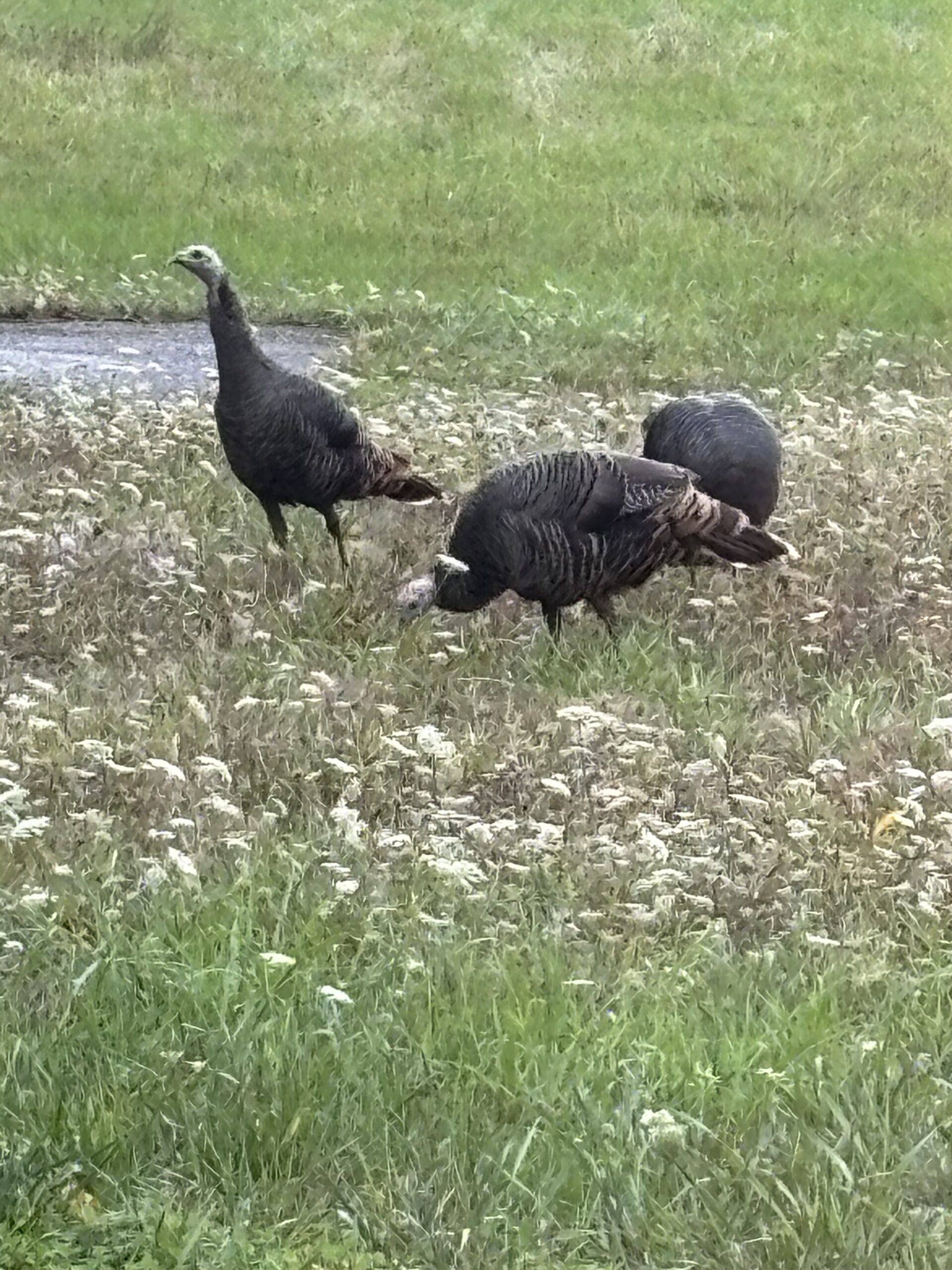
- The B&B was really nice and the owner (Tom – in his late 70’s and formerly an environmental consultant) was a good guy. Lots of deer and turkeys. Breakfasts were early and really good!
- I spent a quarter in Eugene in 1972 (!) but didn’t even bother trying to figure out where any of the places were that I might have remembered from back then. The last time I was in Eugene was for my sister’s PhD ceremony in about 1990.
- We climbed pretty well the first day but had trouble repeating that. We turned in splits of 12 – 13 mph on the flats, almost like old times.
- The covered bridges are more of a tourist bait than a real cultural element.
- We need to figure out a better approach to lunches on the bike and dinners in town.
- Ride planned for 9/25 but cancelled because of threatened rain: Aufderheide – An OAB ride on a forest road – here is the route we planned to take. (Probably don’t want to go much further than the 30 mile point since it starts dropping after that and you’d have to climb back up.) Don’t see any other roads to make it into a loop, but it is part of the series of connector routes so there may be options I didn’t discover. Here’s the car route from the B&B to the start (46 miles – about an hour) which you’ll notice duplicates most of the drive to get to the start of our McKenzie Pass ride. You evidently need to talk to the hotel before parking there.
- Extra back-up ride: drive to Florence (72 miles – an hour and a half – here’s the car route) and ride toward North Bend. Turn around before the climb (over Bass Arms) and return to the start – then do 15 or 20 miles out-and-back on the route toward Newport. (I would do a regular RWGPS route combining the two maps if we were actually going to do this ride.) Or we could just do 25 miles OAB on the Newport map. The big downside to this ride is that the whole thing is on the coast highway which has a bad reputation for cyclists.