From July 11 to July 19 Jerry and Odette rode their tandem on the Hells Canyon Scenic Byway, the Elkhorn Drive Scenic Byway, and the Blue Mountain Scenic Byway. The seven days of riding covered just over 400 miles and involved 31,000 feet of climbing (according to the GPS.)
The route was based on a modified Wallowas & Blue Mountains Loop (#13 in Henderson, Biking the Great Northwest.) The plan was for 418 miles (omitting Henderson’s stop at Lehman Hot Springs.) The 15,700 ft of climbing according to the book turned into 24,800 ft as mapped in Ride With GPS (and 31,421 as actually accumulated on Cyclemeter.) The total route, as mapped automatically by Google, is 382 miles and 22,600 ft.
Day 1. Saturday: Drive to Pendleton and spend a night before biking.
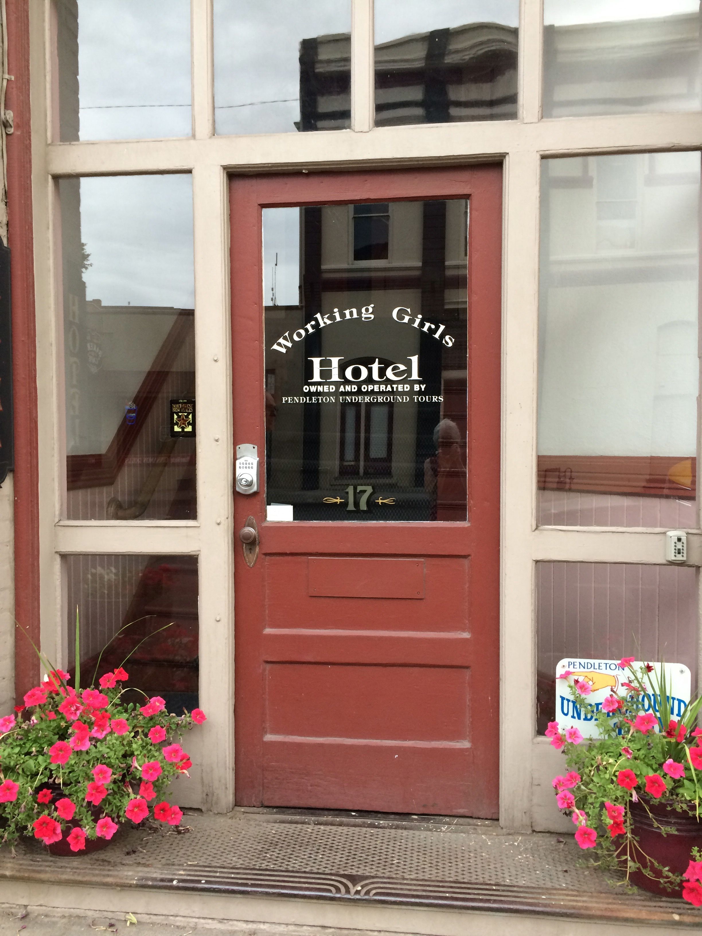
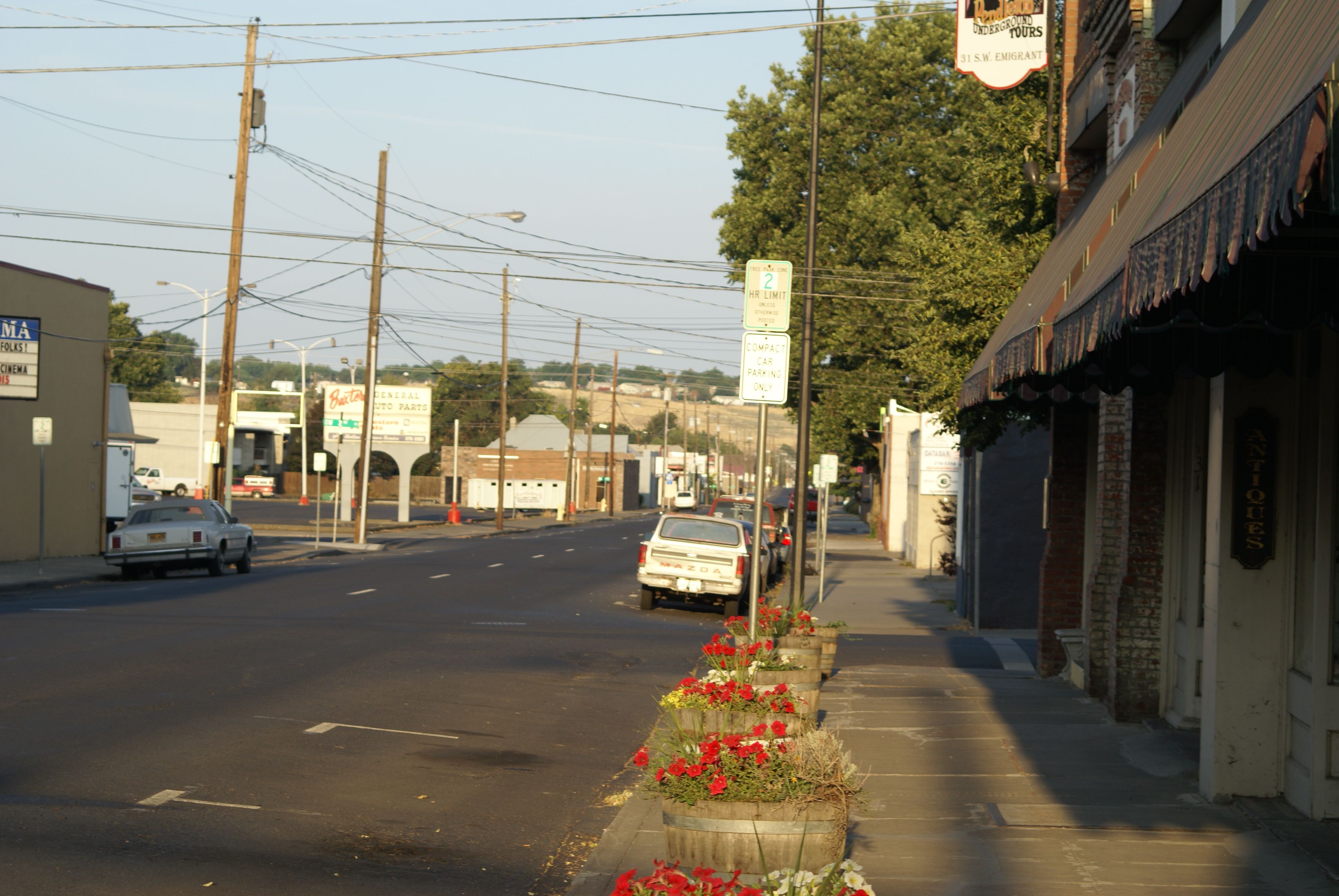
We stayed at Working Girls Hotel (17 SW Emigrant Ave, Pendleton) 541-276-0730, because of good on-line reviews, and it was near the museum where Henderson said you can leave your car. Maybe 20 years ago when the book was written they were less concerned about parking, but now there are “10 hour Parking” signs all around the museum and the staff there said to ask the city police where we wouldn’t get towed. The police station is out near the airport and getting there is complicated. It is distinct from the state patrol station in the basement of the same building. We finally called the non-emergency number and they said to leave it at Walmart – so that’s what we did and we rode the tandem back downtown and carried it up the stairs to our room. We were the only people in the place and had no contact with the proprietors but we thought the room (and the whole floor) was really cool. We had lunch at the Prodigal Son Brewery – which was very good – and we had dinner at some steakhouse that I wouldn’t return to.
Day 2. Sunday: Bike from Pendleton to Elgin over Tollgate (64 miles and 5,000 ft. according to the map, 67 miles and 6,769 ft. the way we did it) The plan was to have lunch in Weston at the Long Branch Café and Saloon 201 East Main Street – about 25 miles into the ride – or buy food there and picnic at Tollgate. We couldn’t find a breakfast place in Pendleton that opened before 7:00 and we wanted to get going before it got hot, so we had coffee and Kind bars in the room and then got on the road. We rode Adams Road to Adams, the old highway to Athena (where we bought nectarines and pop-tarts,) and Banister Road to Weston – getting there at about 8:30. We had a great breakfast at the Long Branch and then took the Weston – Elgin highway for a long but gradual climb. It turned out that there was a restaurant open at Tollgate, but we didn’t stop. We had a good fast run down from the summit and got to Elgin by 1:30.
We stayed at the Stampede Inn (51 S. 7th Ave, Elgin) 541-437-2441 where they let us check in early. It was a 1940s vintage motel/cabins but they had wireless and were happy to have us put the bike indoors. We ate lunch at a place called Angels & Cowboys which had a neighborhood vibe and where they called everyone “honey”. There was a pretty hard thunderstorm while we were eating but it was basically over by the time we walked back to the motel. We had dinner at the Brunswick where they called everyone “sweetie” and which was recovering from the Elgin Rodeo. The next morning we had breakfast at a drive through espresso place where they had subway quality breakfast burritos. Don’t know what they called people but at least it was open early.
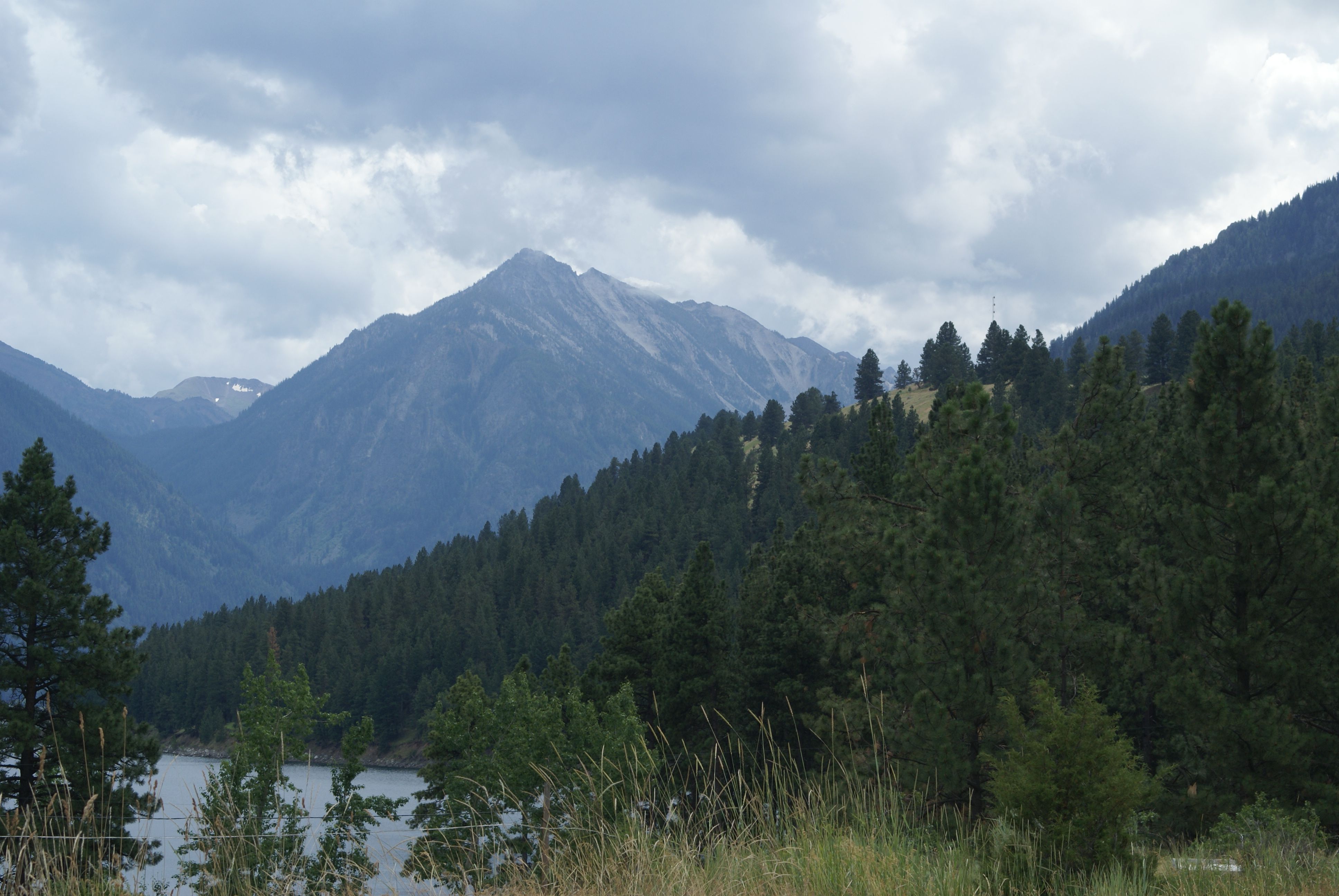
Day 3. Monday: Bike from Elgin to Joseph through Lostine and Wallowa and Enterprise (51 miles and 3,200 ft. according to the map, 66 miles and 4,586 ft. the way we did it.) I wanted to start early enough to get to Lostine for lunch at the Lostine Tavern, 125 Highway 82 – but they were only open Wednesday – Sunday so we pushed on through to Wallowa where we found most places were also closed Monday and Tuesday. We went to the Glacier Grill at the far end of the lake (after ditching our panniers at the B&B) and had a good lunch featuring Terminal Gravity beer. We got back to town before the thunderstorms started.
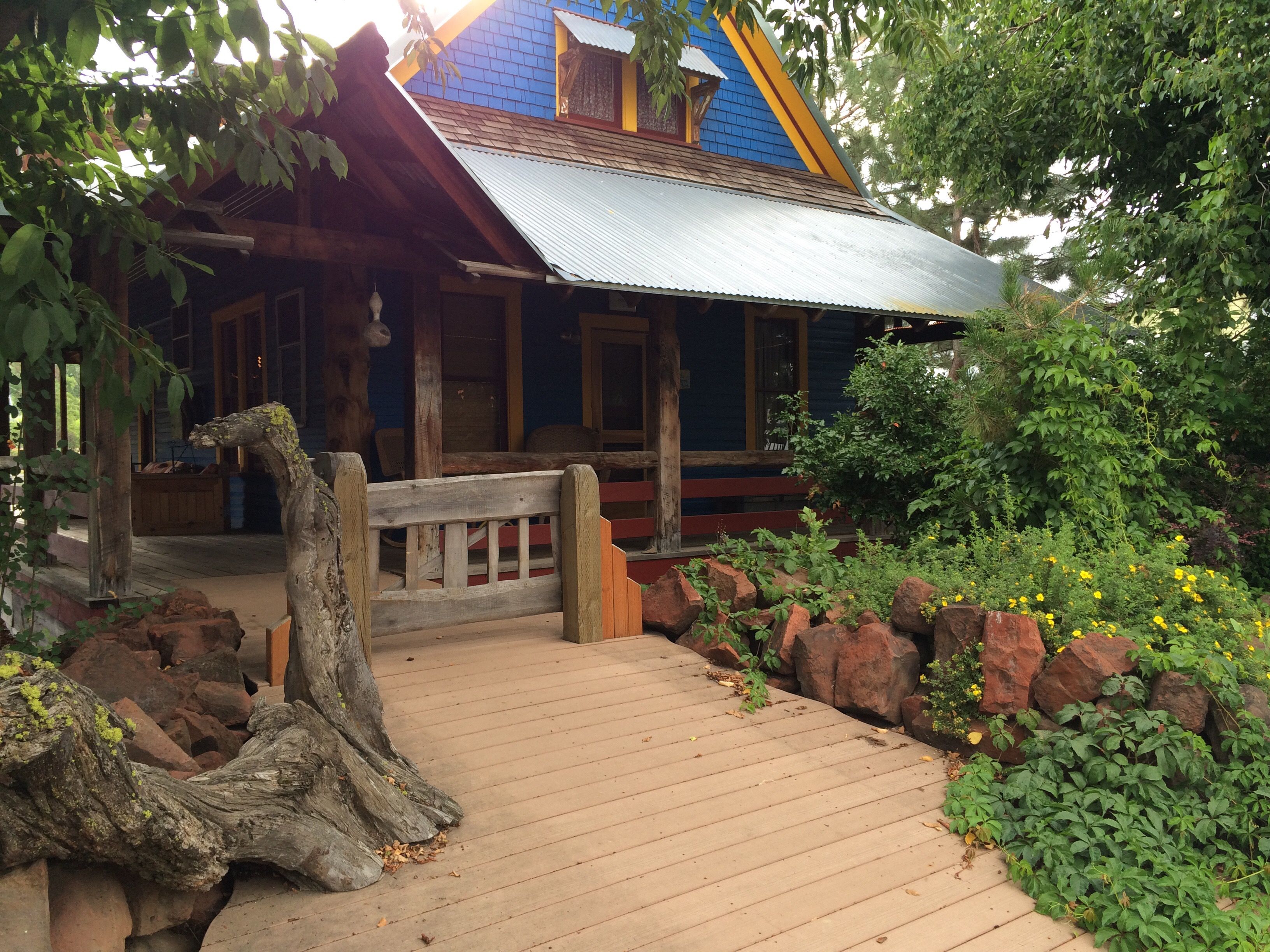
We stayed at Bronze Antler B&B (309 S. Main St, Joseph) 541-432-0230. The proprietors were former heath-care workers with a cool second career. The room was spectacular and there were deer wandering around the yard. They had us park the bike in the garage. We visited Stein Distillery and were surprised that they were able to ship to our home so we had to buy a couple of bottles. We ate dinner at Embers which is to be recommended more for its beer (I had Barley Brown’s) than for its food.
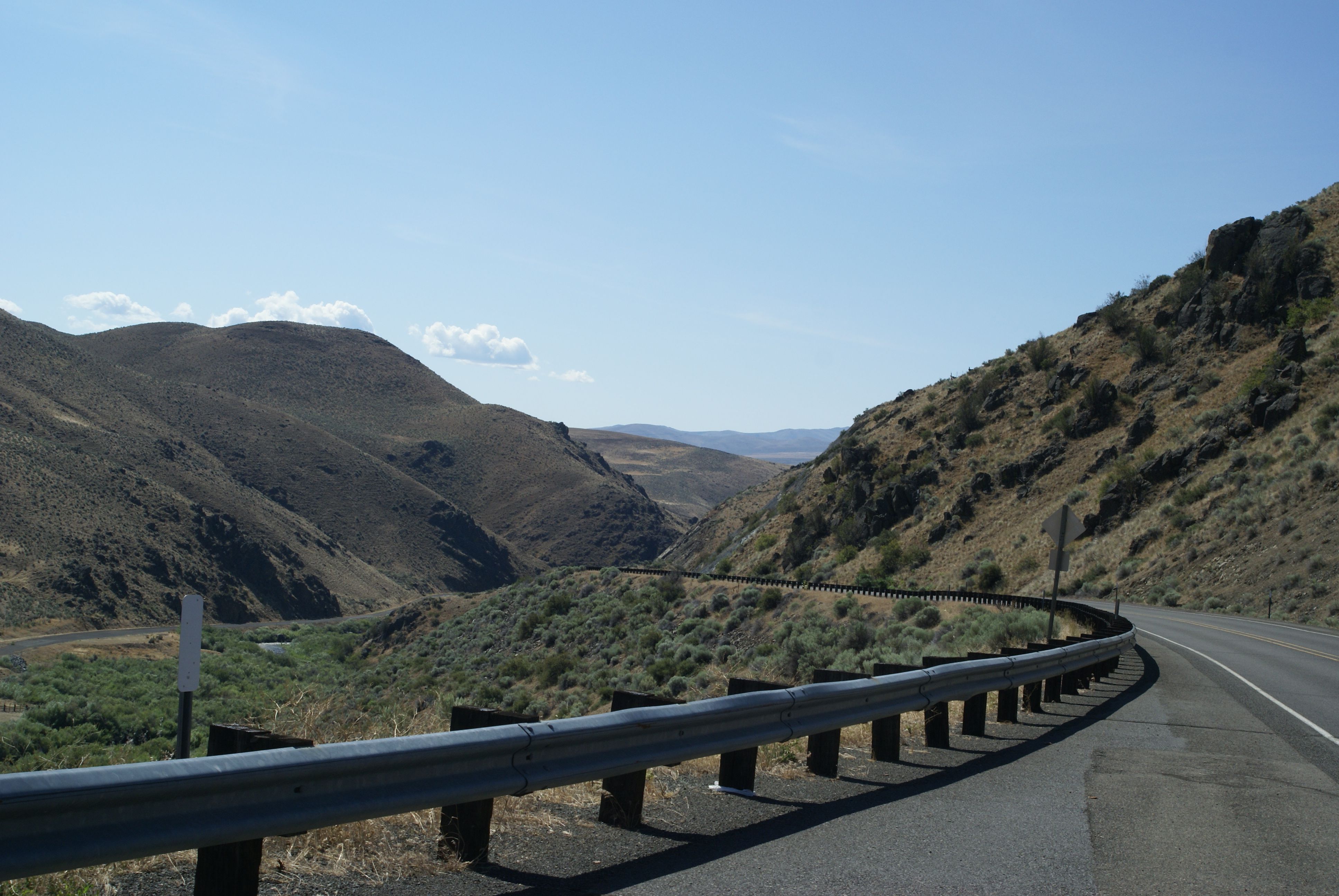
Day 4. Tuesday: Bike from Joseph to Halfway over the Salt Creek and Imnaha divides and past the Hells Canyon overlook (71 miles and 5,100 ft. according to the map, 72 miles and 6,119 ft. the way we did it.) We were worried about road construction but the people at the B&B said bikes and motorcycles had been going over the construction zone for the last couple of weeks. They got up early and made us breakfast so we were on the road by 7:00. The valley is spectacular at that hour. The climbs weren’t as bad as I’d anticipated but we were hot by the time we crested Salt Creek. The construction zone (where there was a wait and where the flagger wanted to put our bike in the back of the pilot car) wasn’t bad at all – we kept up with traffic just fine. The issue was the several miles before and after which were loose gravel and really badly washboarded. We kept the speed down and didn’t have any incidents until a couple of miles after the pilot car left us when we hit a section of washboard too hard and blew a tire. I changed it using a CO2 cartridge and the inflator malfunctioned wasting both the first and second cartridges I tried. Luckily, the back-up pump worked like a charm. It was hot by the time we got to the highway and climbed up to Halfway. We had a thunderstorm right after we got there so it was good that we didn’t lose any more time.
We stayed at Pine Valley Lodge (163 N Main St, Halfway) 541-742-2027 which was modern and hip and totally different (in a better way) than we expected. There was only one open restaurant in town for dinner on a Tuesday – Wild Bills. It was definitely authentic. They had a salad bar. I was glad I ordered my steak rare. A group of cyclists sat next to us – they had somebody driving a van for support and had come in from Joseph the previous day. Most of them took a rest day in Halfway with some riding down to Oxbow (and getting driven back in the heat.) On their trip through the construction zone they hadn’t gotten off the road in time to avoid a thunderstorm so they got to ride the gravel wet. We had a light day coming up so we stayed late and had breakfast at the B&B.
Day 5. Wednesday: Bike from Halfway to Baker through Richland and over Flagstaff Hill (54 miles and 3,700 ft. according to the map, 54 miles and 4,194 ft. the way we did it.) The ride was hot even though we were out pretty early. I hadn’t been out there since the landslide at Hole-in-the-wall rerouted the road.
We stayed at the Geiser Grand Hotel (1996 Main Street, Baker) 541-523-1889 because in early May the Dancing Goat Inn (where I’d originally made reservations) emailed to cancel. We got a flat from a thorn just as we arrived and I fixed it while Odette took stuff up to the third floor room. The hotel was fine with us taking the bike to our room but we had to turn the front wheel sideways to fit the low ceiling in the elevator. We got into town just after noon and tried to get lunch at Barley Brown’s, 2190 Main St., but they didn’t open until 4:00 so we ate at the hotel which was fine. We walked around town after lunch, exploring most of the Leo Adler parkway which was new since I’d been there last. We waited 10 minutes for dinner at the brewpub and it was worth it both for the beer and for the food. We had breakfast at the hotel and it was fine once again.
Day 6. Thursday: Bike from Baker to Sumpter past Phillips Reservoir and through the dredge tailings (29 miles and 1,400 ft. according to the map, 40 miles and 1,847 ft. the way we did it.) We spun around town for 10 miles to kill time and then went to the Safeway and picked up stuff for lunch. We followed the river for a really easy ride and I was surprised and how much had changed from the way I remembered it. We got to Sumpter at noon and had lunch at the SVRR depot there.
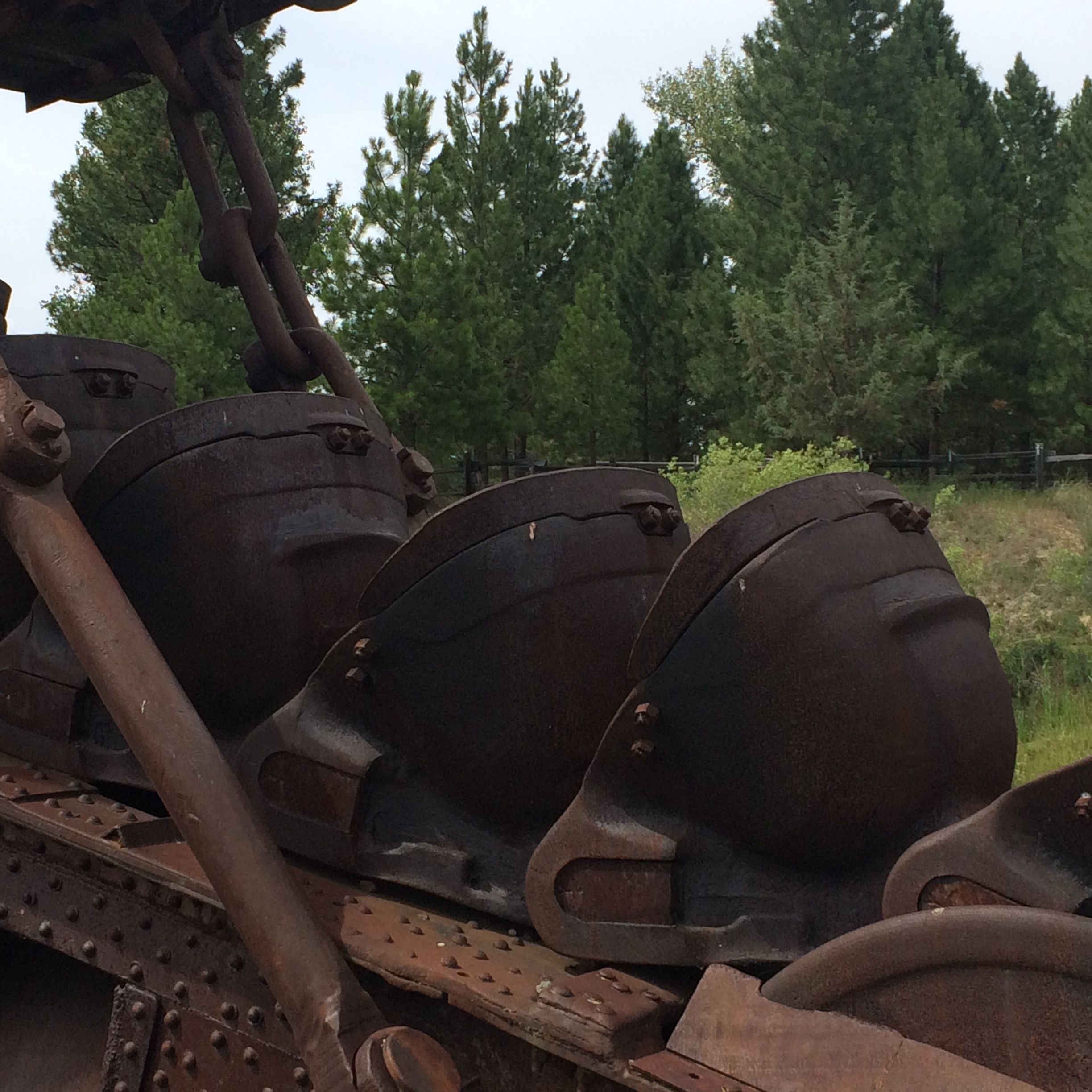
We checked into the Depot Inn (179 S Mill St, Sumpter) 541-894-2522 early and they seemed fine with that. We walked out to the dredge park and toured the boat and the gift shop and got ice cream at Scoop N’ Steamers – the new-looking restaurant / log cabin place. The trauma of the day happened when Odette dropped her scoop of chocolate. We were warned that there was no place to get food between Sumpter and Ukiah and that there was no place to get breakfast early, so we visited the general store and the truckstop looking for food. We bought one wilted green pepper because it was the only thing we saw that wasn’t alcoholic or a canned good. We patched a couple of tubes and then had dinner at the restaurant next door to the motel which seemed to be called “Carol’s Mad Dog” but is evidently known as Borello’s on-line. (We tried to eat at the ice cream / log cabin place but despite their posted hours their dinner is over at 4:00 during the week.) The food at Carol’s was actually pretty good. After dinner we talked to a couple of motorcyclists who’d just come from Ukiah and who raved about the road and the scenery. We watched a couple of buck deer with their antlers in velvet while we talked. The next morning we had breakfast at the log cabin place which opened at 7:00 and offered deli sandwiches to go. The place was full of old guys (miners, mainly) and was clearly where one goes for breakfast in Sumpter.
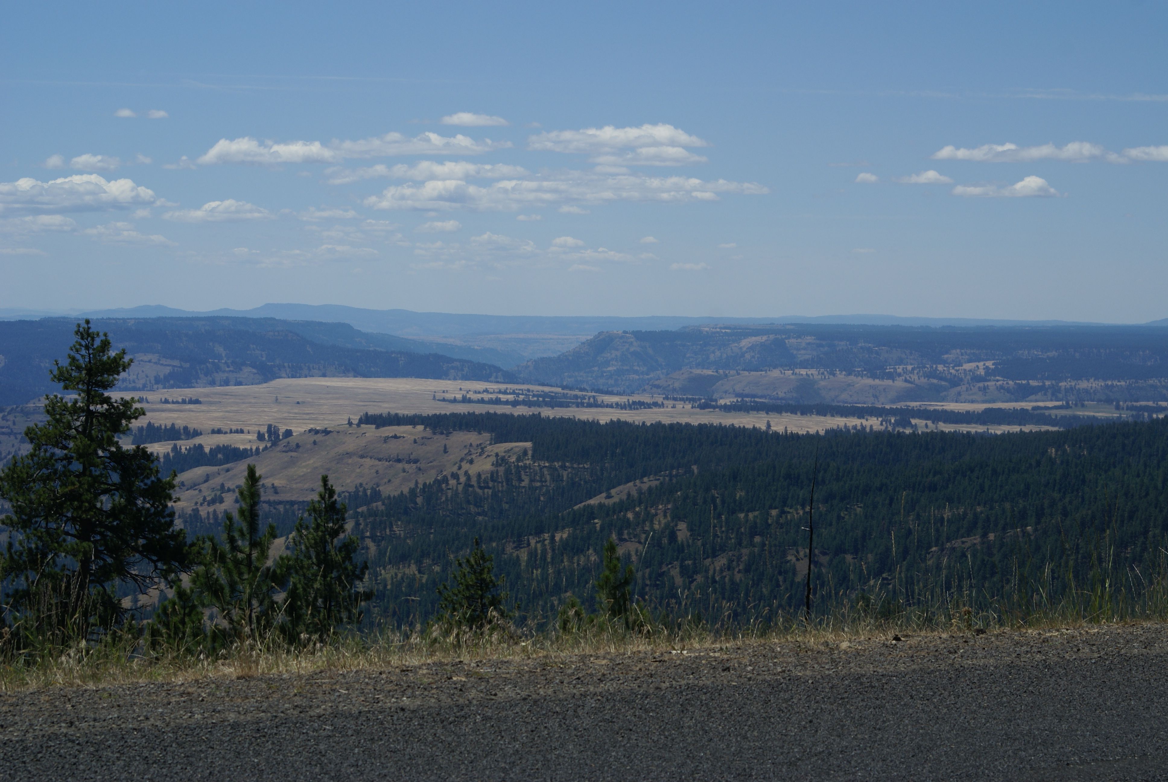
Day 7. Friday: Bike from Sumpter to Ukiah past Granite (66 miles and 4,900 ft. according to the map, 67 miles and 5,867 ft. the way we did it.) The guys on the Ducatis were right – the road was great, there was no traffic, and the scenery was spectacular. (The popular cycling routes evidently go from Granite to Anthony Lakes.) The climb up Granite Hill road to Blue Springs Summit got us down into the lowest gear and it was cold starting out. The forest was full of little meadows that opened up views of the mountains. We saw deer and elk and lots of raptors. The other van-supported cycling group spend the night in Granite so there must be an inn there (and likely food) but we didn’t go into town to explore. We got hungry after Crane Flats and just stopped by the side of the road for lunch. The climb out of the North Fork John Day seemed to go on forever but the new forest on the site of a big fire was really fascinating. After we topped out we got views down to the Columbia plateau and it got hotter and hotter as we descended. We came into Ukiah in the middle of the afternoon with showers on our minds.
We stayed at the Antlers Inn (103 Main St, Ukiah) 541-427-3492 which was the only place in town to stay. Odette said it reminded her of my parent’s house, but that is a nice way of saying that it was remodeled by a handyman about 40 years ago and hadn’t been touched since. Actually, except for the linoleum that was worn through, it was an adequate place to spend a night and certainly better than camping. The bathroom was down the hall but it had a shower that was exactly what I was looking for. (They only gave us one towel so I dried off with the bathmat.) It was, however, the only place we stayed on the tour that didn’t have wireless. There was no room on the first floor for the bike because it was full of stuffed animals, so we chained the bike up to a post on the porch. (I didn’t think I could get it up the stairs and around into the room.) We walked to the grocery store / gas station and bought sodas from a mother/son team that could have been out of Grapes of Wrath. Their store was decorated with outsider art whirligigs made from 50-gallon drums. We had dinner at the Thicket – the only cafe in town. The lady who checked us in at the Antlers was the bartender at the cafe, too. It was pizza night so we had homemade pizza from a waitress who couldn’t figure out how to get us a beer on the cafe side of the establishment. The tap list was actually really good – I had Irish Death. We got up early and ate pop tarts and had coffee in the lobby of the Antlers with a couple motorcyclists.
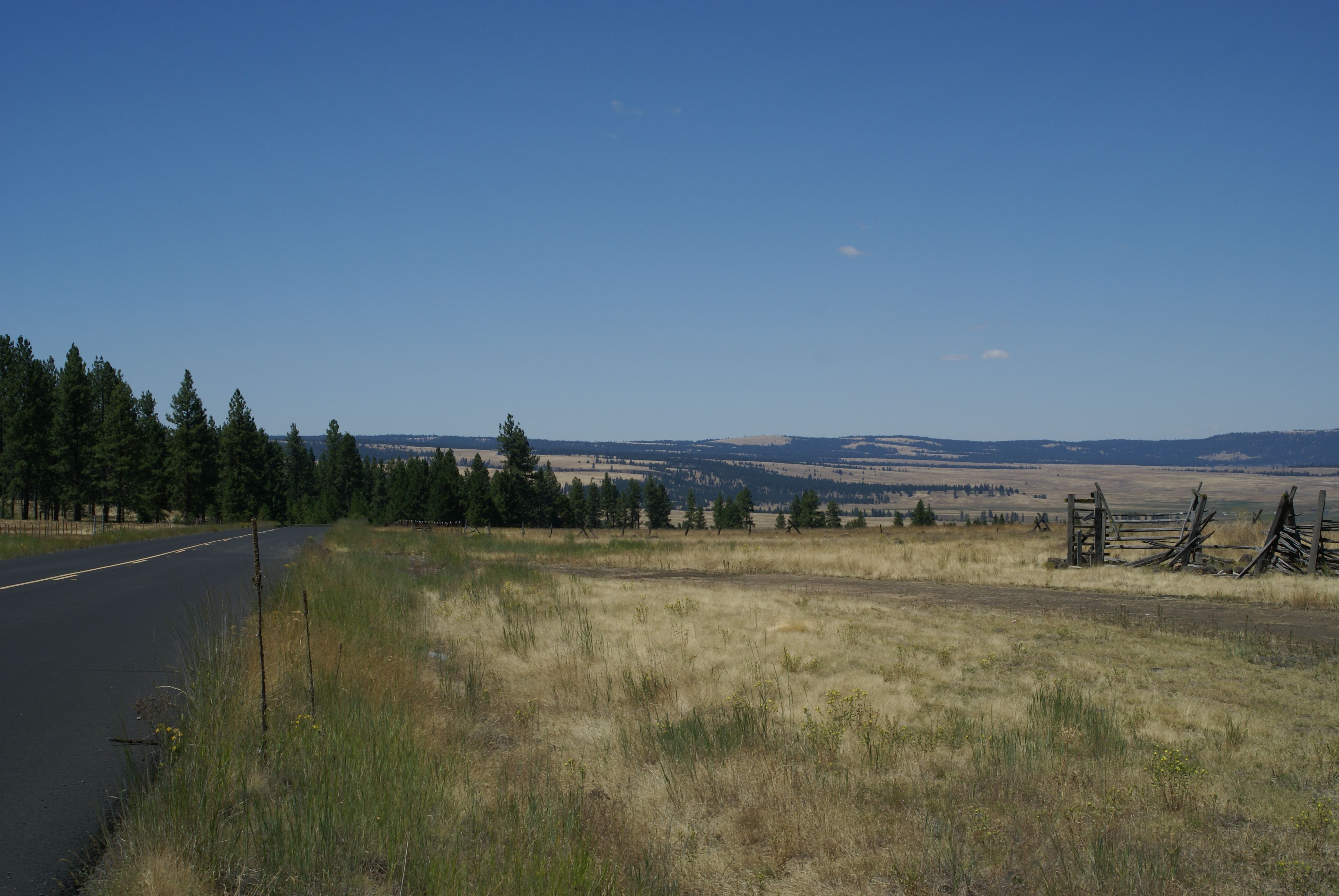
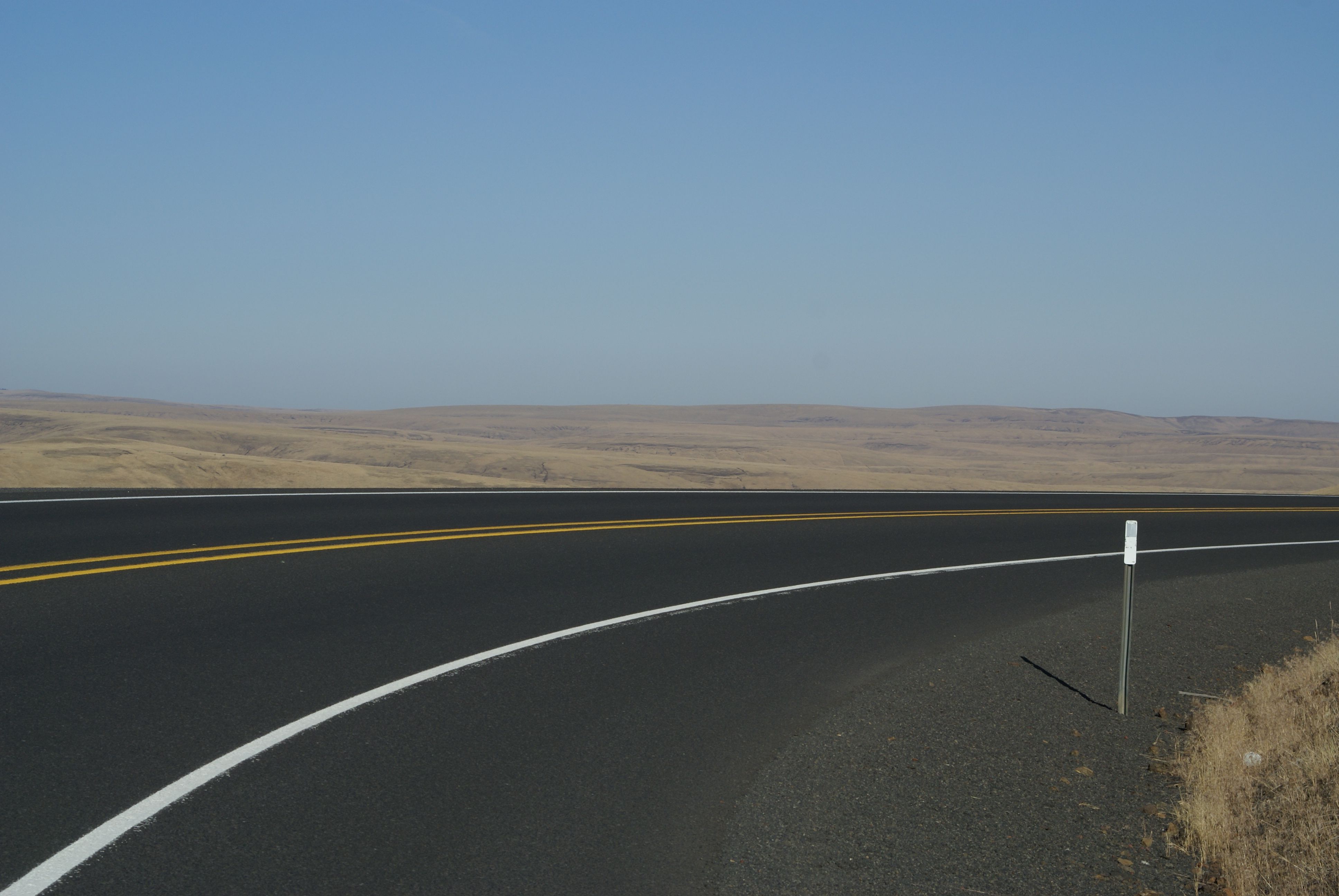
Day 8. Saturday: Bike from Ukiah to Pendleton through Pilot Rock and spend another night in Pendleton before driving back: (51 miles and 1,500 ft according to the map, 50 miles and 2,039 ft. the way we did it.) It was cold in the morning but warmed up after we crested Battle Mountain. The scenery changed too, to wheat fields and basalt layers as we dropped in the coulee down to Pilot Rock. We’d thought about stopping there to have breakfast at Archie’s but it was too early to eat again so we just rode on into Pendleton on the shoulder of SR 395 (I didn’t know about the frontage road that would have kept us off of the highway for most of the way.) We headed straight for the Walmart and found our car in the shade. After unsuccessfully looking for regional specialities to take back as gifts to co-workers and unsuccessfully attempting a tour of the woolen mills, we had lunch at Prodigal Son and walked around town for the afternoon.
We stayed at Working Girls Hotel again and were the only ones in the place, again. We settled on chocolates from Alexander’s for the co-workers. We had dinner at Plateau at the Casino on the Warm Springs reservation. We had to walk through the slots and tables trying to figure out where the restaurant was but the view was spectacular. The food was good if you like pepper sauce on your steak.
Day 9. Sunday: Drive back to Seattle
Here’s the Cycle Oregon web site – in September 2015 they are taking 2,000 people from Baker to Elgin – here’s their brochure for the 2015 ride.
Here’s the Wallowa County tour website and here is the state bike route through Baker, here’s the one through Ukiah and here’s Joseph to Halfway
Here’s the national Forest Service construction alert and here is the update on the Joseph to Halfway road
Odette’s photos
GALLERY